Bali rice terraces (subak)

A thousand-year-old water network with no pumps and no electronics. Every paddy is a tank, and every notch in a bund is a small weir. Open the canal and watch five terraces fill and settle on their own. Then sabotage them.

Break-it challenges. ① Block notch 2: the paddy rises to the bund top, overtops along the whole bund (erosion!), and the paddies below go dry until it spills. ② Remove the stones from paddy 2: the bare-soil sill erodes, the paddy drains, and a pulse hits the paddies below. ③ Open the tembuku and give away half the water: the head over each notch drops only ~37% (H ∝ Q^(2/3)) and, thanks to the fixed 5 cm crest, the water depth drops just ~11%. That's why the system is both fair and robust.

The physics, in three lines

1 · Each notch is a broad-crested weir. Over a sill the flow goes critical, so the discharge only depends on the head H above the crest:

Q = C · b · √g · H^(3/2), C = (2/3)^(3/2) ≈ 0.54

2 · Each paddy is a tank (lumped mass balance, with evaporation E ≈ 5 mm/day and percolation q ≈ 1.5 mm/day through the compacted clay):

A · dh/dt = Q_in − Q_out − A·(E + q)

Linearise around the steady state and you get a first-order system with time constant τ = A / (dQ/dh) = A·H₀ / (1.5·Q), about 45 minutes for A = 200 m² and Q = 1 L/s. That's the settling you see in the h(t) curves.

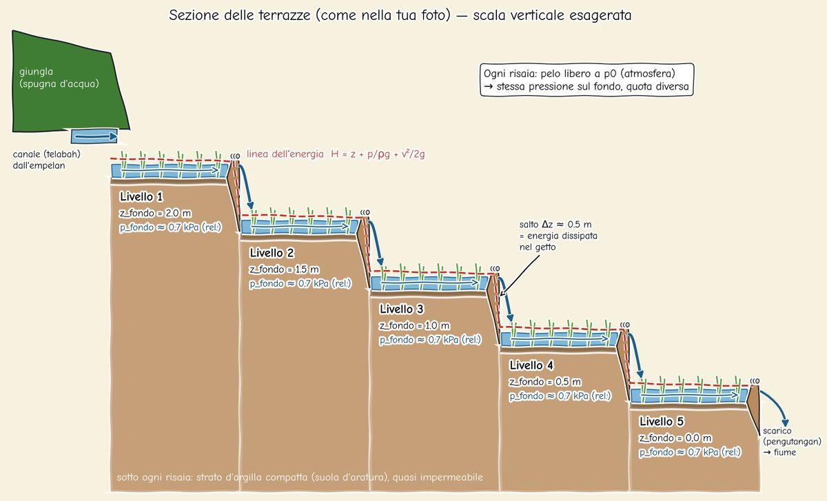
3 · Hydrostatics. The free surface sits at atmospheric pressure, so the gauge pressure at the floor is just p = ρ g h ≈ 1000 · 9.81 · 0.07 ≈ 0.7 kPa. Every terrace has the same floor pressure at a different elevation.

Erosion (toy model). Flow over the sill is critical, so u = √(g·2H/3). Bare soil starts eroding above ~0.25 m/s, while stone armour holds up to ~1.5 m/s (assumed). Without the stones, the crest drops and the notch widens over time.
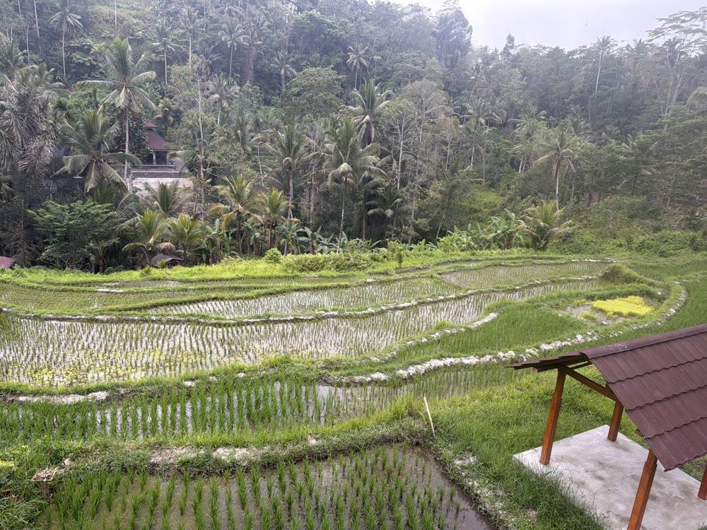
Francesco's photo of Balinese rice terraces with water cascading between levels
The terraces I photographed in Bali. Water from the jungle canal spills from paddy to paddy through small notches in the bunds.
Hand-drawn cross-section of the terrace cascade
Hand-sketch cross-section from the analysis (Python + matplotlib xkcd mode).
Educational approximation. Every paddy is a well-mixed tank with a flat surface. There's no flow inside the paddy, no seepage through the bunds, no rain, a single weir coefficient, and an invented erosion law. Areas, widths and crest heights are estimates (A = 200 m², b = 20 cm, crest 5 cm, bund 15 cm). Real subak water is also governed by water temples and farmer cooperatives, which no equation captures! Want to go further? See the free tools and a path to a real model.